Achill
Island
25K
Wild. Unforgiving. Purposeful.
A solo 25KM loop across one of Ireland's most remote and rugged islands. No crowd. No noise. Just distance, terrain, and purpose.
Location
Achill Island Ireland
Route
25KM Loop
Elevation
~700M
Date
Coming Soon
Where in the World
Ireland — Wild Atlantic Way — County Mayo
Ireland — Overview Map
N
S
Country
Ireland
Republic of Ireland
Province
Connacht
Western Ireland
County
Co. Mayo
Northwest Coast
Island Size
148 km²
Ireland's Largest Island
Coordinates
53.97° N
10.19° W
Coastal Route
2,500km
Wild Atlantic Way
Getting There
✈ Fly into Dublin, Knock, or Shannon
🚗 Drive west to County Mayo (~3–4 hrs from Dublin)
🌉 Cross the Achill Sound Bridge onto the island
🏔 The challenge begins at the island's edge
The Route
Achill Island — 25K Loop — Co. Mayo
Achill Island — Satellite View

Route Waypoints
Start / Finish
Achill Sound area
Slievemore
Ghost Village — Famine History
Keem Bay
Westernmost Point — Atlantic Drop
Croaghaun Ridge
Highest Point — ~688M
Route Status
Exact route being finalised. Approximate loop shown.
Achill Island.
Ireland's Largest Island — Co. Mayo
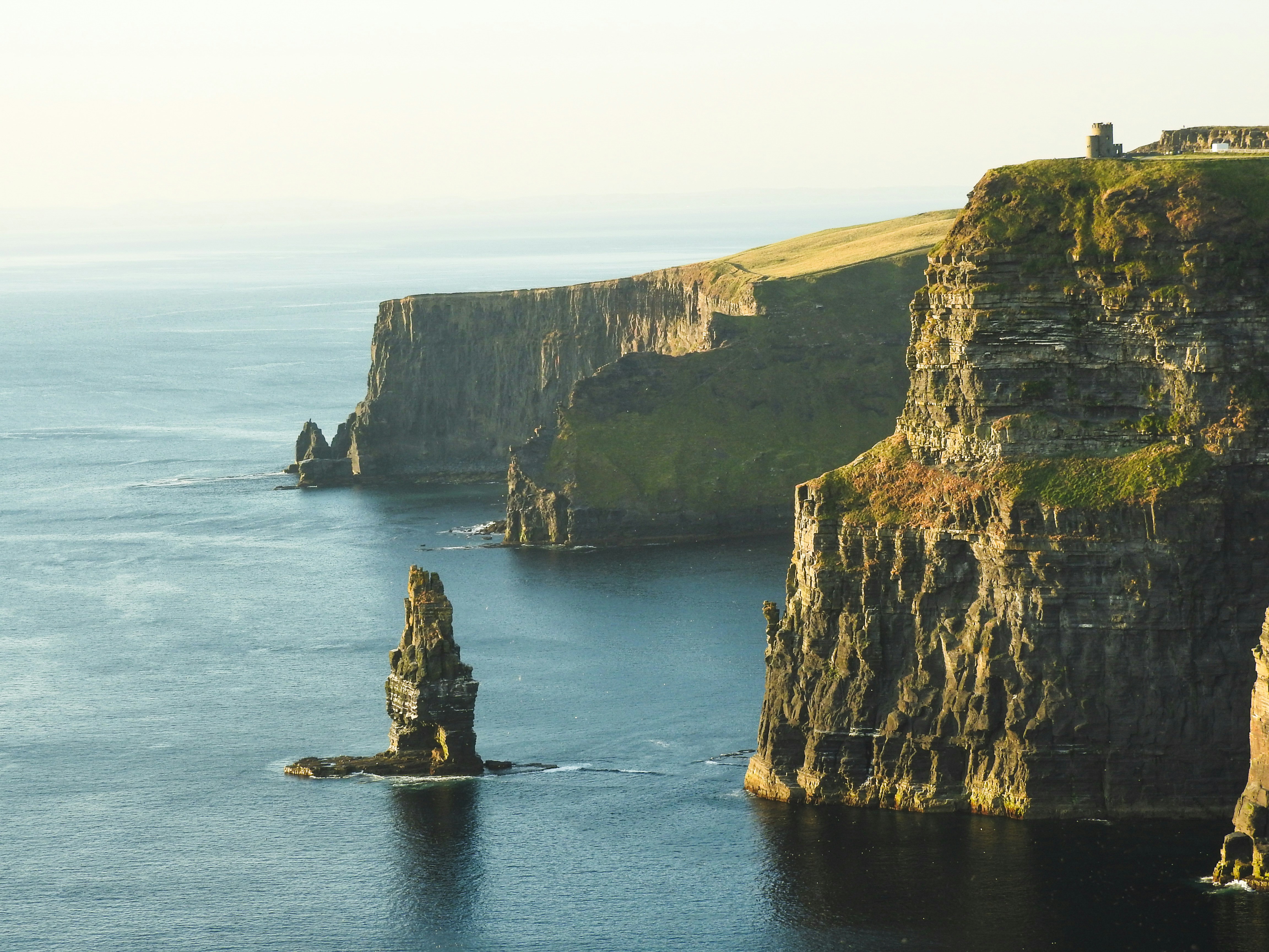
Achill Island sits off the northwest coast of Ireland, connected to the mainland by a single bridge. At 148 km², it is Ireland's largest island — a place of extraordinary natural drama and deep historical weight.
The island is defined by its extremes: towering sea cliffs, bog-covered moorland, ancient ruins, and a coastline battered by the full force of the Atlantic Ocean. It is a place that has shaped people for thousands of years.
Achill is not a tourist destination. It is a place that demands respect. The weather changes without warning. The terrain is unforgiving. The remoteness is real.
It is exactly the kind of place a challenge like this should happen.
Coordinates
53.9680° N, 10.190° W
The Wild Atlantic Way.
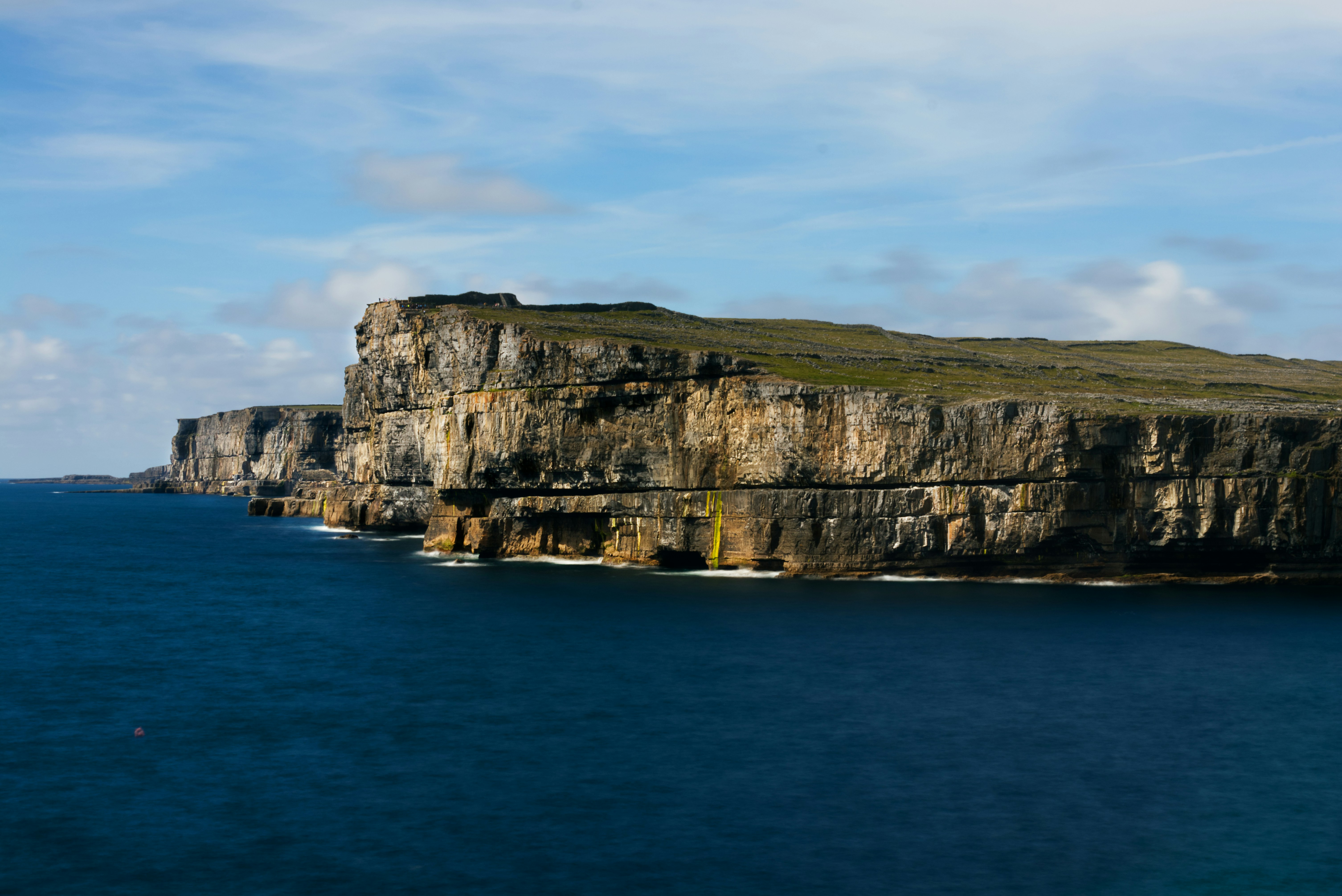
The Wild Atlantic Way is one of the world's longest defined coastal routes — stretching 2,500km along Ireland's western seaboard. Achill Island sits at its heart. Raw beauty. Unforgiving terrain. A place that demands everything.
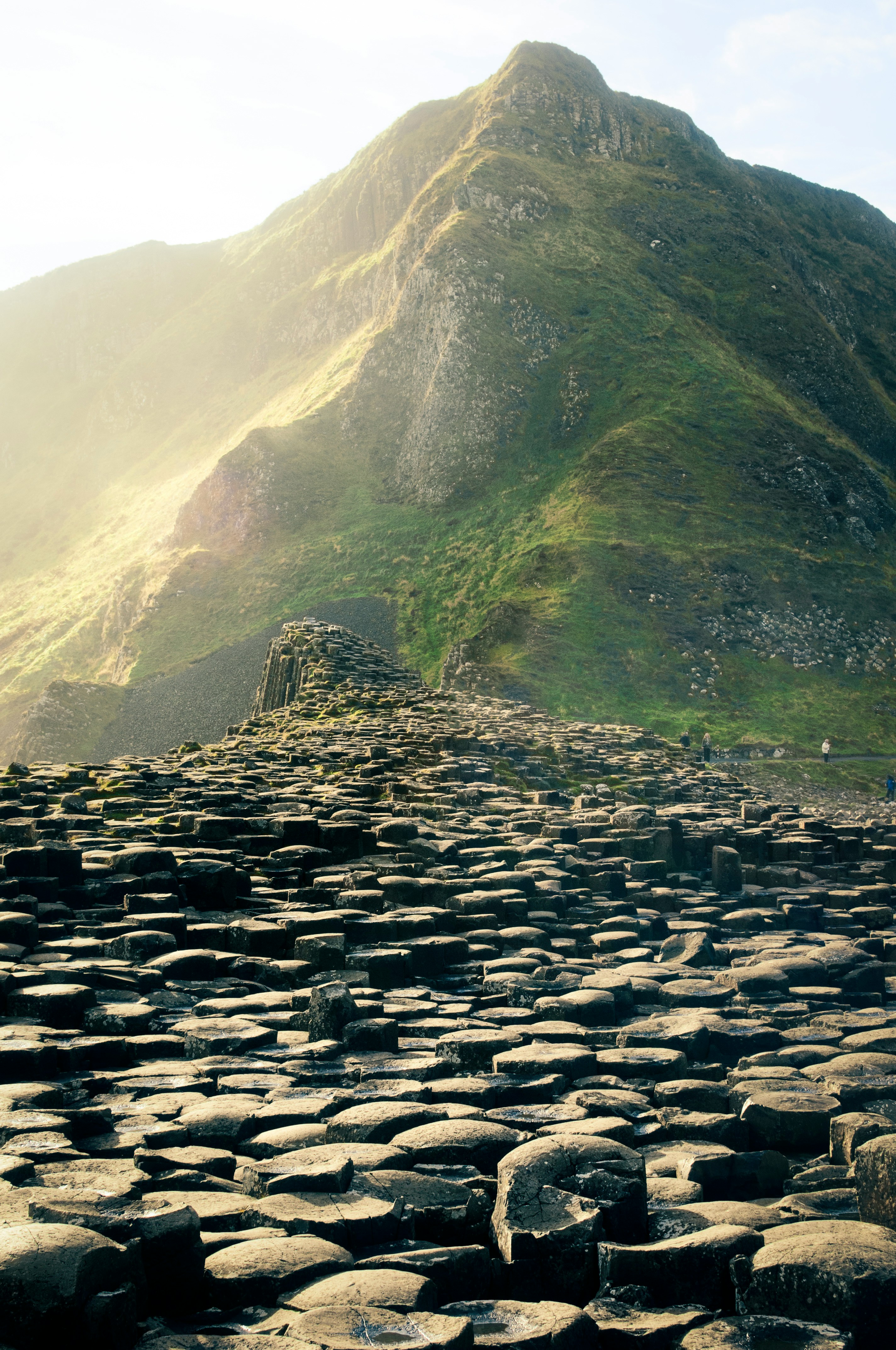
Rugged Terrain
Coastal trails, steep climbs and remote paths cut through ancient bog and moorland. Unpredictable. Unforgiving. Unforgettable.
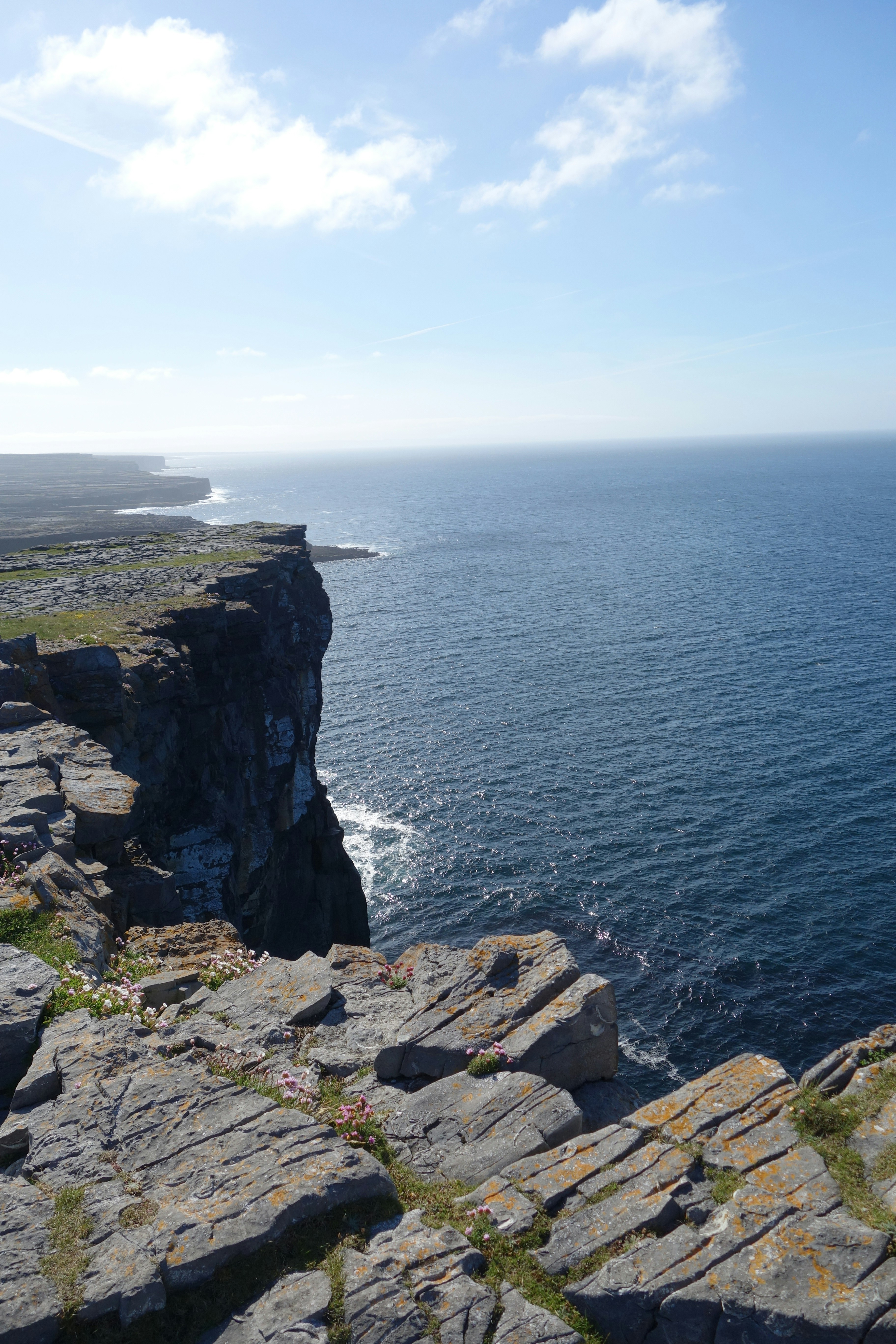
Coastal Exposure
The Atlantic is relentless here. Wild ocean. Changing conditions. Wide open spaces with no shelter and no escape from the elements.
Atlantic Weather
Weather on Achill changes fast. Sunshine, rain, wind, and mist can all arrive within the same hour. You train for it. You respect it.
The Route
The Achill 25K is a solo loop route combining rugged coastal trails, historic ground, and stunning cliff-top views. The route takes in some of the most dramatic scenery on Ireland's western coast — and some of its most demanding terrain.
With approximately 700 metres of elevation gain across the 25KM distance, this is not a flat road run. The climbs are real. The descents are technical. The ground underfoot shifts between bog, rock, grass, and loose shale.
Parts of the route pass through areas with no mobile signal, no shelter, and no easy exit. This is intentional. The challenge is designed to be a genuine test of endurance, navigation, and mental resilience.
This is more than a run. It's a reckoning with the landscape.
Distance
25KM
Elevation Gain
~700M
Estimated Time
4–7 Hours
Difficulty
Demanding
What to Expect
Technical Terrain
Bog, rock, loose shale, and coastal grass. No manicured trail. The ground demands constant attention and honest footwork.
Relentless Wind
Atlantic gusts can reach 60–80km/h on exposed ridges. There is nowhere to hide. You learn to move with it, not against it.
Cold & Wet Conditions
Even in summer, temperatures on the high ground can drop sharply. Rain is frequent. Wet gear is a reality, not a surprise.
Navigation Required
Sections of the route require map reading and route-finding. There are no marshals. No arrows. Just you and the landscape.
True Isolation
Parts of the route have no mobile signal and no road access. Self-sufficiency is not optional — it is the baseline requirement.
A Genuine Finish
When you cross the finish line, it means something. Not because of a medal or a crowd — but because of what it took to get there.
More Than Landscape
Achill Island carries centuries of human history. The abandoned village of Slievemore — a ghost village on the northern slopes — stands as a silent reminder of the Great Famine that devastated Ireland in the 1840s. Running past it is not just a physical experience. It is a moment of connection to something much larger than a race.
The island was also home to Heinrich Böll, the German Nobel laureate, who wrote about Achill with reverence and honesty. Artists, writers, and wanderers have been drawn here for generations — not despite its harshness, but because of it.
This challenge is run on ground that has meaning. Every step is taken with awareness of where you are and why it matters.
"It's a mission with meaning."
"Life is given. Discipline is chosen. Purpose is built."
First Challenge. Strong Start.
53.9680° N, 10.190° W
Remote & Unforgettable
Epic Views at Every Turn
Historic Location
Real Challenge. Real Impact.
Want to be Part of This?
We're looking for a small number of mission-aligned partners to support this challenge. This isn't about logos. It's about alignment — with discipline, purpose, and real impact.